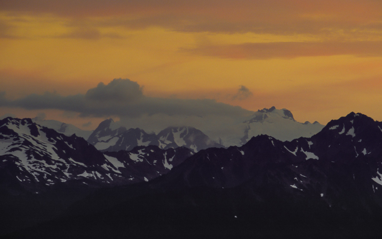


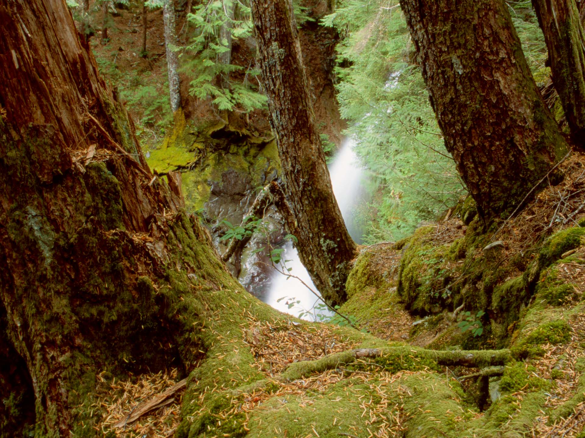
From the trailhead at the end of the Sol Duc River road, it's a short level walk through the forest to Sol Duc Falls, pictured to the left above. Here, the trail divides. We opted to hike the loop counter-clockwise, which makes for a shorter but steeper ascent in return for which you gain a gentle descent at the end of the end of the day (going counter-clockwise also means that if there is more snow on the High Divide than you're comfortable with, there's no problem retreating). From the junction it's a relentless climb through the forest until you reach Deer Lake, the treeline, and the start of the best section of the trail along the High Divide. The views here across the deep Hoh River valley toward Mount Olympus and the Blue Glacier are outstanding. After several miles, the trail reaches Heart Lake and then descends along the Sol Duc Valley, passing numerous small creeks and waterfalls along the way.
One of the highlights of the park is the temperate forest, which covers much of the lower elevations and provides a beautiful backdrop to numerous waterfalls. Upper and Lower Boulder Falls are both very attractive, and I'd recommend the pleasant and easy day hike to see them. It's about 8 miles out-and-back. The same trail continues on to Appleton Pass, 8 miles from the trailhead, from where you can continue on into the Sol Duc valley. The high country here is good for wildflowers. The trail along Boulder Creek can also be combined with the Happy Lake Ridge for a (near) loop, which might be worth considering if it's too early in the season to tackle the High Divide trail.

The Klahhane Ridge offers exceptional views across the interior of Olympic National Park, that are even better than those available at the Hurricane Ridge Visitors' Center. It's a 7 mile out-and-back to the Ridge from the Visitors' Center, initially along a rolling trail that follows Sunrise Ridge. In July, this is one of many Olympic high country trails that are good for wildflowers. After a couple of miles the trail reaches a junction with the Switchback trail, and begins a steep ascent of about 800 feet to the Klahhane Ridge. In the summer this is hot and hard work in the direct sun, mitigated by the spectacular views out across numerous ridges and distant ranges of mountains. On reaching the Ridge we ate lunch and returned, but it's also possible to continue further toward Lake Angeles, along a trail that eventually descends to the Hurricane Ridge road near the park boundary.

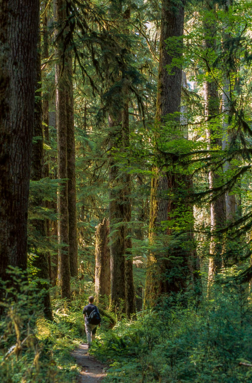
The valleys of the Hoh, Queets and Quinault rivers on the western edge of the park receive enough rainfall (more than ten feet annually) to qualify as temperate rain forests. The ancient forests within the park stand in sharp contrast to areas blighted by clear cut logging, which continues apace elsewhere on the Olympic Peninsula.
The Hoh rain forest is the most accessible, and you can get a flavor of the area by walking the short loops that leave from the Visitor Center. You can also hike up the valley on a trail which parallels the river - eventually this leaves the forest behind and reaches the foot of the stunningly beautiful Blue Glacier on Mount Olympus. That's much too far away to reach on a day hike, unfortunately, though you can make a pleasant (and flat) hike through the forest for as long as you want before turning back the way you came. After a few miles the scenery of ferns, moss-draped trees, and huge fallen logs starts to get a bit same-ish, so unless you're a real afficionado of rain forests you can probably see all you want of the Hoh river valley in half a day.
There are also numerous longer trails that can only be explored with a backpack. On my personal to-do list is the hike along the Hoh River valley to Glacier Meadows, at the snout of the Blue Glacier flowing off Mount Olympus. That's 17.5 miles one way. If you're looking for more solitude, several ambitious traverses of the park are possible, especially in the southern section which I haven't visited. Long hikes along the Elwha, Quinault and Dosewallips Rivers, for example, could be combined for a week or more in the backcountry.